Carlson GeoTech 2026
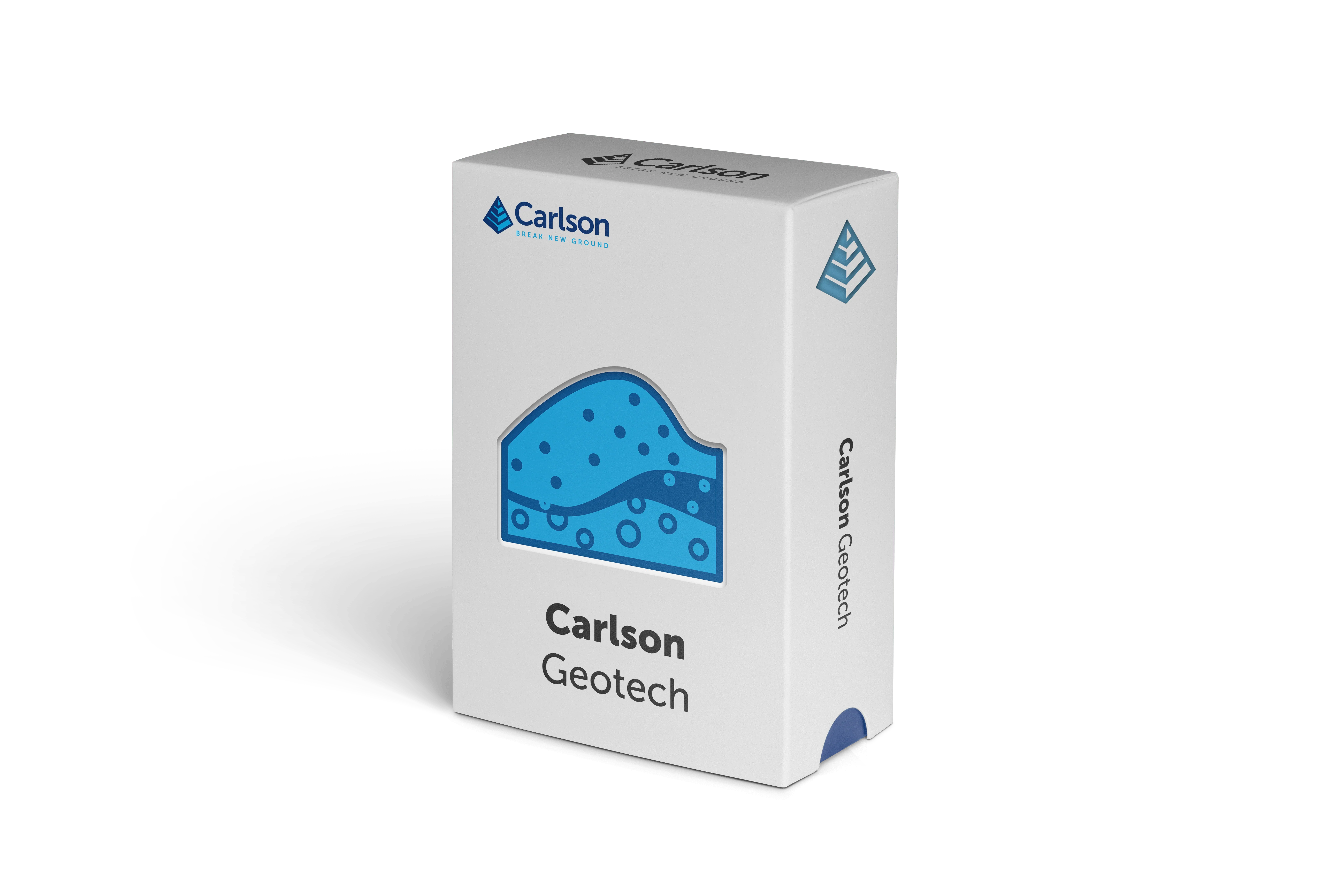
Carlson Geotech 2026 – Geotechnical Software for AEC, Environmental & Construction Professionals
Carlson Geotech is a robust geotechnical and drilling software solution built for AEC firms, environmental consultants, and construction professionals who rely on accurate subsurface data for planning, compliance, and build-ready design
Designed to work directly within IntelliCAD or AutoCAD, Carlson Geotech streamlines the collection, analysis, and presentation of drilling data, soil and material classifications, borehole logs, and cross sections—eliminating duplicate drafting and preserving CAD intelligence throughout the project lifecycle
Environmental and geotechnical teams use Carlson Geotech to document soil stratigraphy, groundwater conditions, and subsurface materials for environmental site assessments, remediation planning, landfill design, and regulatory reporting. Customizable templates and standardized symbology support consistent documentation aligned with agency and project requirements
For construction and infrastructure projects, Carlson Geotech delivers clear, CAD-ready outputs to support foundation design, earthwork planning, utility coordination, and risk mitigation. Borehole logs, fence diagrams, and profiles integrate seamlessly with civil and structural drawings, improving coordination between engineers, contractors, and stakeholders
From early investigation through final construction documentation, Carlson Geotech helps teams reduce manual drafting, improve data accuracy, and produce professional deliverables faster—all within a familiar AutoCAD environment
Common Use Cases
-
Environmental site assessments & remediation projects
-
Construction and infrastructure subsurface investigations
-
Foundation, DOT & Civil roadway, and utility design support
-
Soil classification and drilling documentation
-
Regulatory and build-ready geotechnical reporting
File Format Compatibility
- Integrates with civil, survey, and structural workflows
- CAD-native files—no data translation or rework required
This module can be purchased as a standalone module or with Takeoff Suite
Important: The software module is a new, end user perpetual license. If you are an existing user, please contact us regarding renewal or cross-grade options
Product Information
Product Information
Shipping & Returns
Shipping & Returns
Carlson GeoTech 2026
Carlson GeoTech 2026
Carlson Geotech 2026 – Geotechnical Software for AEC, Environmental & Construction Professionals
Carlson Geotech is a robust geotechnical and drilling software solution built for AEC firms, environmental consultants, and construction professionals who rely on accurate subsurface data for planning, compliance, and build-ready design
Designed to work directly within IntelliCAD or AutoCAD, Carlson Geotech streamlines the collection, analysis, and presentation of drilling data, soil and material classifications, borehole logs, and cross sections—eliminating duplicate drafting and preserving CAD intelligence throughout the project lifecycle
Environmental and geotechnical teams use Carlson Geotech to document soil stratigraphy, groundwater conditions, and subsurface materials for environmental site assessments, remediation planning, landfill design, and regulatory reporting. Customizable templates and standardized symbology support consistent documentation aligned with agency and project requirements
For construction and infrastructure projects, Carlson Geotech delivers clear, CAD-ready outputs to support foundation design, earthwork planning, utility coordination, and risk mitigation. Borehole logs, fence diagrams, and profiles integrate seamlessly with civil and structural drawings, improving coordination between engineers, contractors, and stakeholders
From early investigation through final construction documentation, Carlson Geotech helps teams reduce manual drafting, improve data accuracy, and produce professional deliverables faster—all within a familiar AutoCAD environment
Common Use Cases
-
Environmental site assessments & remediation projects
-
Construction and infrastructure subsurface investigations
-
Foundation, DOT & Civil roadway, and utility design support
-
Soil classification and drilling documentation
-
Regulatory and build-ready geotechnical reporting
File Format Compatibility
- Integrates with civil, survey, and structural workflows
- CAD-native files—no data translation or rework required
This module can be purchased as a standalone module or with Takeoff Suite
Important: The software module is a new, end user perpetual license. If you are an existing user, please contact us regarding renewal or cross-grade options
Original: $1,595.00
-70%$1,595.00
$478.50Product Information
Product Information
Shipping & Returns
Shipping & Returns
Description
Carlson Geotech 2026 – Geotechnical Software for AEC, Environmental & Construction Professionals
Carlson Geotech is a robust geotechnical and drilling software solution built for AEC firms, environmental consultants, and construction professionals who rely on accurate subsurface data for planning, compliance, and build-ready design
Designed to work directly within IntelliCAD or AutoCAD, Carlson Geotech streamlines the collection, analysis, and presentation of drilling data, soil and material classifications, borehole logs, and cross sections—eliminating duplicate drafting and preserving CAD intelligence throughout the project lifecycle
Environmental and geotechnical teams use Carlson Geotech to document soil stratigraphy, groundwater conditions, and subsurface materials for environmental site assessments, remediation planning, landfill design, and regulatory reporting. Customizable templates and standardized symbology support consistent documentation aligned with agency and project requirements
For construction and infrastructure projects, Carlson Geotech delivers clear, CAD-ready outputs to support foundation design, earthwork planning, utility coordination, and risk mitigation. Borehole logs, fence diagrams, and profiles integrate seamlessly with civil and structural drawings, improving coordination between engineers, contractors, and stakeholders
From early investigation through final construction documentation, Carlson Geotech helps teams reduce manual drafting, improve data accuracy, and produce professional deliverables faster—all within a familiar AutoCAD environment
Common Use Cases
-
Environmental site assessments & remediation projects
-
Construction and infrastructure subsurface investigations
-
Foundation, DOT & Civil roadway, and utility design support
-
Soil classification and drilling documentation
-
Regulatory and build-ready geotechnical reporting
File Format Compatibility
- Integrates with civil, survey, and structural workflows
- CAD-native files—no data translation or rework required
This module can be purchased as a standalone module or with Takeoff Suite
Important: The software module is a new, end user perpetual license. If you are an existing user, please contact us regarding renewal or cross-grade options